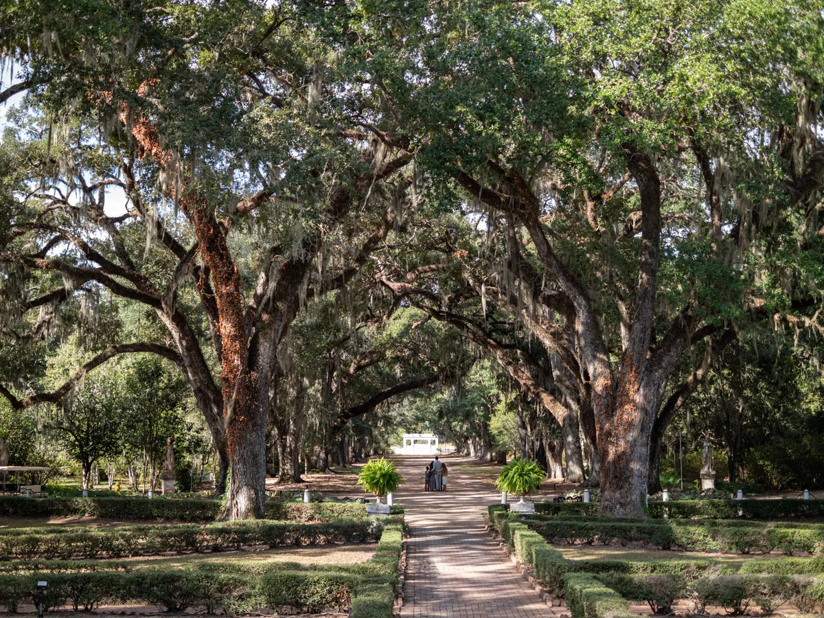
The Mississippi River did not simply flow past this stretch of Louisiana — it shaped it, abandoned it, and then defined it by leaving. West of the river, the land flattens into the alluvial plain of Pointe Coupée, where an ancient bend of the Mississippi cut off and became False River, a 22-mile oxbow lake that gave the old French trading post its second identity. East of the river, the bluffs rise — loess soil swept in from the western plains during the Ice Age, compressed into vertical cliffs sometimes ninety feet high, a narrow ridge that runs from below Baton Rouge north into Tennessee. The bluffs are why St. Francisville exists where it does, and why everything built there survived when everything built below it did not.
The post at Pointe Coupée came first. Canadian trappers reached the site as early as 1708. Bienville established it as a military post before New Orleans existed. French settlers arrived in 1719, making it the third oldest European settlement in Louisiana, drawing colonists from France and from French-speaking communities as far north as Fort de Chartres in Upper Louisiana. The Spanish took control after 1763, and in 1776 built the Chemin Neuf — the New Road — connecting the Mississippi with False River. That road named the city that eventually grew from it. East of the river, Spanish Capuchin monks received a land grant sometime between 1773 and 1785 and built a wooden monastery on the high bluffs, clustering a settlement around a cemetery that would become St. Francisville. By 1785, the district of Nueva Feliciana had been formally established.
Below St. Francisville's bluffs, a different kind of town grew. Bayou Sara, on the flood plain between the river and the hills, became one of the largest cotton ports on the Mississippi between New Orleans and Memphis — flatboats, keelboats, and steamships moving cotton north to mills, and fine furniture south to plantation houses. Three newspapers ran simultaneously in the community during its peak decades. Then the Civil War, fire, and successive floods took it apart piece by piece. By the 1920s, surviving structures were hauled up the hill into St. Francisville. Nothing of Bayou Sara remains at the river's edge today.
In 1810, the area planters — many of British descent, heirs to the Tidewater plantation culture that had given West Feliciana its loess-soil estates and its Episcopal churches — rebelled against Spanish rule and declared the Republic of West Florida. It lasted 74 days. St. Francisville served as its capital. The United States absorbed the territory, adding it to the holdings from the Louisiana Purchase.
The figure who gave this region its lasting name passed through in the summer of 1821. John James Audubon came to Oakley Plantation, built around 1806 between St. Francisville and Jackson, to tutor the teenage daughter of the plantation owners. He spent four months there, and in the surrounding forest — still intact within what is now a 100-acre state historic site — he completed or began 32 of the paintings that would become *Birds of America*. He was not yet famous. The woods and the light and the specific birds of this particular stretch of West Feliciana did their work anyway.
What the bluffs and the oxbow and the old road produced is a place where the layers haven't been smoothed over. The loess ridges still hold the town two miles long and two yards wide. Pointe Coupée's courthouse still holds the French and Spanish slave records that historian Gwendolyn Midlo Hall turned into the Louisiana Slave Database — one of the most detailed archives of individual enslaved people in the American record. Ernest Gaines, who grew up on a Pointe Coupée plantation and became one of the essential American novelists of the twentieth century, set his fiction in this ground. The region carries what happened here without apology and without embellishment. That is, in the end, what endures.