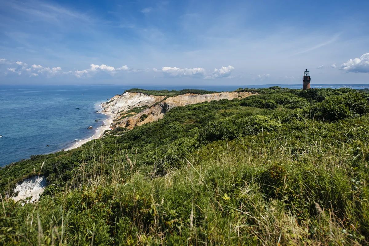
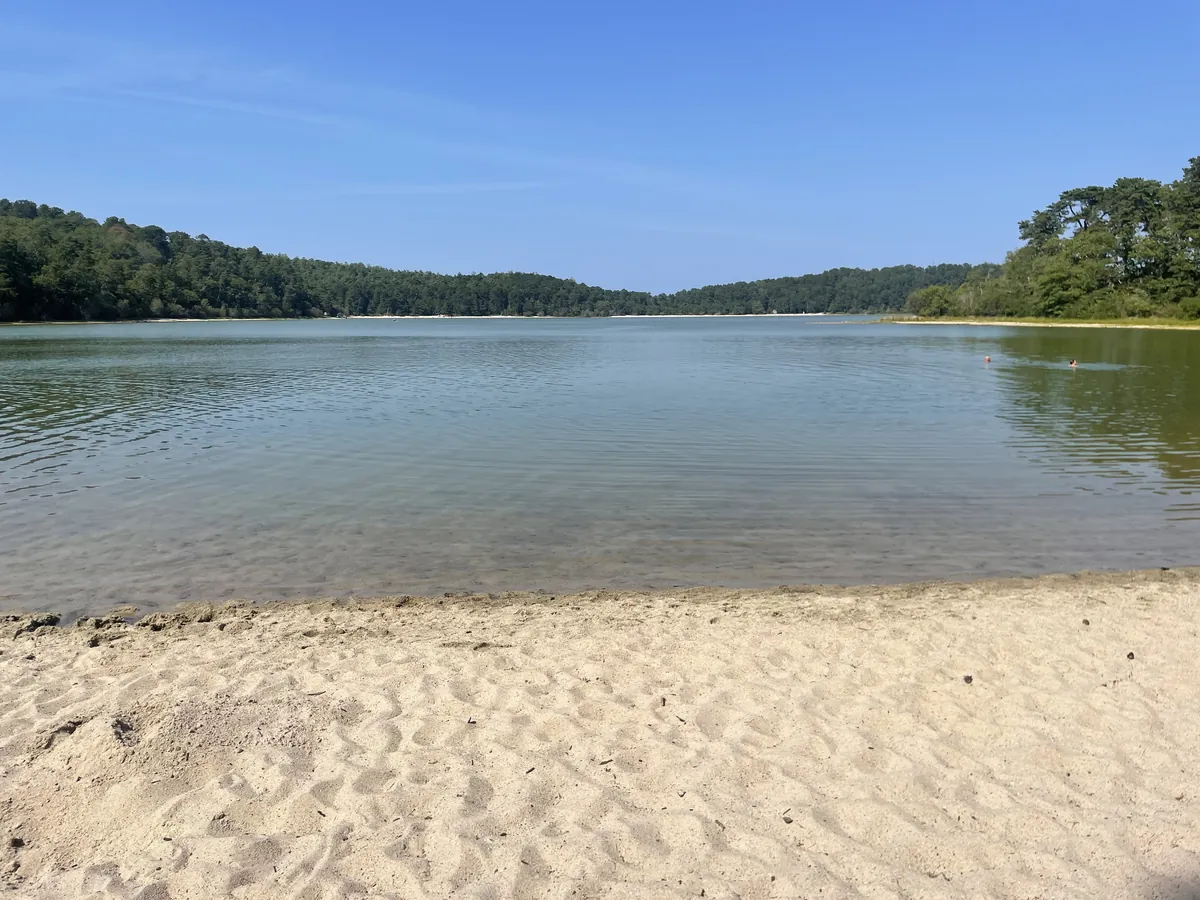
The whole Cape is a deposit — a terminal moraine pushed south by the Laurentide ice sheet and left behind when the ice retreated thousands of years ago. That single geological fact explains everything about this peninsula's shape, its sandy soil, its scattered ponds. The kettle ponds at Nickerson State Park in Brewster formed where glacial ice melted into the moraine; Salt Pond in Eastham started the same way before it eventually breached into salt water. At Aquinnah on Martha's Vineyard, roughly 150 feet of layered clay cliffs mark where that same ice deposited its load — and the Wampanoag, whose ancestors arrived some 10,000 years ago, have lived beside those cliffs ever since. The ice is long gone. What it left — the land, the water, the shape of the coast — is what everyone comes for.