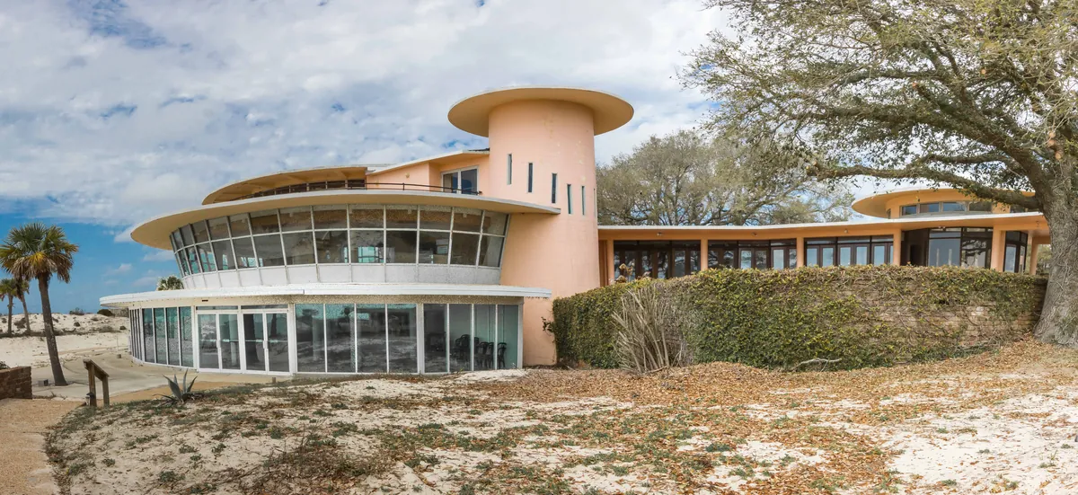
The barrier island at the mouth of Mobile Bay is fifteen miles long and, for most of that length, less than a quarter-mile wide. The Gulf of Mexico pushes from the south. Mobile Bay opens to the north. The eastern end is thick with pine and saw palmetto; the western end narrows to scrub. This is not a place that invites permanence — storms have split it, flooded it, and rearranged its western shoreline repeatedly across centuries. What Dauphin Island has always offered instead is position: it sits exactly where the open Gulf meets the sheltered bay, and that fact has determined everything that happened here.
The island was already old when Europeans found it. Shell middens along its northern shore — some perhaps 1,500 years old — mark where Mississippian people processed shellfish and discarded the evidence over generations. The Spanish explorer Alonso Álvarez de Pineda mapped it in 1519 with enough accuracy to suggest he spent real time here. But the founding moment that shaped the island's modern identity came on January 31, 1699, when the French explorer Pierre Le Moyne d'Iberville anchored near it while making for the Mississippi River. His men found a large collection of human bones — in fact a Mississippian burial mound that a hurricane had broken open — and named the place Île du Massacre. The name was wrong but it stuck, at least for a while.
The French came back, and stayed. Because Mobile Bay was too shallow for ocean-going vessels, Dauphin Island became the deep-water transfer point for all of French Louisiana — the port where ships from Saint-Domingue, Cuba, Mexico, and France unloaded cargo and passengers onto smaller boats bound for the mainland city of Mobile, then the first capital of the colony. The island got a fort, a chapel, government warehouses, residences. In 1704, the French ship *Pelican* landed here carrying women sent from France to marry settlers in Mobile. Around 1707, the island was renamed Île du Dauphine to honor the French heir apparent, Louis XIV's great-grandson — the future Louis XV. The fleur-de-lis on the town's coat of arms today, the French names on its streets — Iberville, Bienville, Orleans, Lafayette — are not decoration. They are the record of what this island was before it was American.
The island passed from France to Britain after the Seven Years' War, then to Spain after the American Revolution, then into the United States as Alabama Territory. Fort Gaines, built between 1821 and 1848 on the island's eastern tip, made the island strategically significant again in the Civil War. Confederate forces held it beginning in 1861. Union Admiral David Farragut took it back during the Battle of Mobile Bay — the engagement during which, supposedly just a few hundred yards from Dauphin Island's shore, he gave the order that history remembered as "Damn the torpedoes, full speed ahead." The old walled fort still stands at the eastern end of the island, its cannons facing north and south as they appear on the town's coat of arms.
What the hurricanes could not take, the birds keep finding. Because Dauphin Island is the first land that northward-migrating birds encounter after crossing the Gulf from South America, its 164-acre Audubon Bird Sanctuary draws species that arrive exhausted and rest in the pines before continuing. The Dauphin Island Sea Lab — built on the grounds of a former Air Force radar station — operates today as a working marine science facility and houses the Alabama Aquarium. The island incorporated as a town only in 1988, but the forces that made it — geography, colonial ambition, military necessity, and the accident of being exactly at the mouth of things — go back much further. It has never been easy to hold. It has always been hard to ignore.