Natchitoches sits in the middle of Louisiana's red-clay country, where the Red River once carried everything that mattered — trade goods, cotton bales, settlers — toward New Orleans and the Gulf. The river made the town possible. Then, in the 1830s, it moved. The channel shifted east, cutting Natchitoches off from direct access to the Mississippi and leaving behind an oxbow lake where the river had been. That lake — today called Cane River Lake — is still the city's spine. The river's abandonment of the town turned out to be one of the more consequential acts of preservation in American history.
The settlement came first, in 1714, when the French colonial officer Louis Juchereau de St. Denis established Fort St. Jean Baptiste on the Red River. He had been sent by the governor of French Louisiana to create a trading post at the navigable head of the river, a point where overland routes converged — the road east toward the Mississippi and the old trail running west toward Spanish-controlled Texas. The location was strategic: Natchitoches sat precisely at the hinge between French and Spanish territory in the New World, close enough to Spanish Mexico to trade with it, fortified enough to hold the line against it. The town took its name from the Caddo people who had already lived in the region. That post became the oldest permanent European settlement within the territory of the Louisiana Purchase.
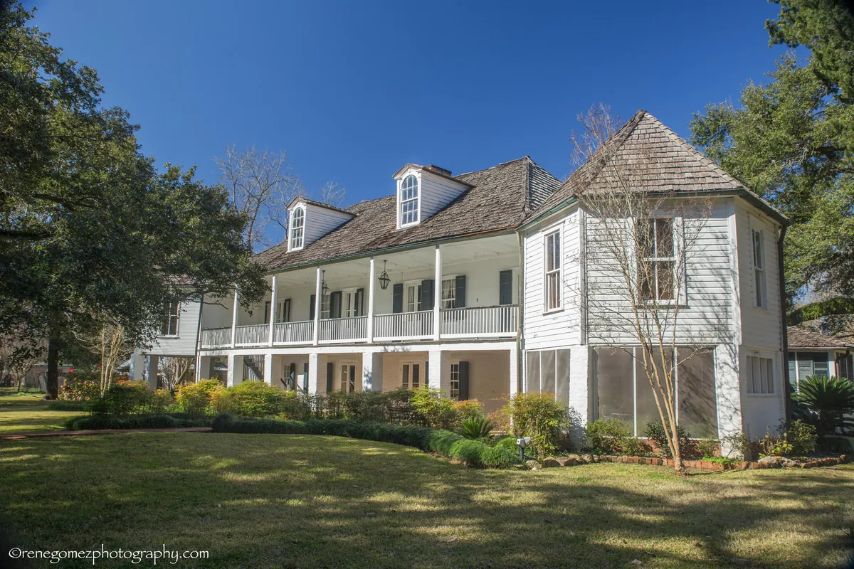
For more than a century after the Louisiana Purchase of 1803, Natchitoches grew into plantation country. American settlers — mostly English and Scots-Irish, mostly Protestant — arrived alongside the earlier French Creole families. They planted cotton along the Red River and brought enslaved African Americans through the domestic slave trade to work it. Two of those plantations, Magnolia and Oakland, survived into the twentieth century nearly intact and are now National Historic Landmarks, operating as the Cane River Creole National Historical Park. The park's interpretive programs take on the full weight of what happened there — the labor, the lives, the aftermath — and that honesty is part of what makes the place worth the drive.
The river's departure in the 1830s was economically catastrophic and architecturally lucky. When the channel shifted, Natchitoches lost its freight connection and its growth engine. The town stayed small. The buildings stayed standing. By the time the rest of America began tearing down its nineteenth-century commercial districts in the 1950s and 1960s, Natchitoches had no money to replace what it had. A 65 percent vacancy rate in the commercial district in the early 1970s is devastating — unless what you're sitting on happens to be one of the most intact French colonial streetscapes in the country. Mayor Bobby DeBlieux and a coalition of preservationists recognized what the poverty had accidentally protected and spent years organizing the designation of a National Historic Landmark District along Cane River Lake. Vacancy in that district is now around one percent.
What those forces produced is a city that holds 300 years of layered American experience in something close to its original form: the brick streets, the wrought-iron galleries, the plantation outbuildings, the Creole architecture, the Natchitoches meat pie — an official state food of Louisiana and a regional constant of North Louisiana cooking. Melrose Plantation, part of the Heritage Area, became known as a hub for art and self-taught creativity. The Cane River National Heritage Area encompasses more than 100,000 acres of this layered landscape. The place has been filmed, studied, and written about, but it doesn't feel like a set. It feels like somewhere that simply refused to disappear.