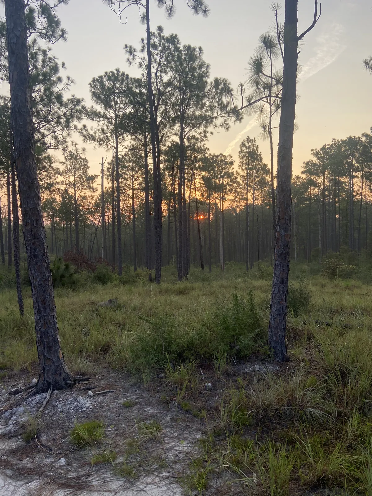
The western edge of Louisiana is defined by water you cannot see from most of it. The Sabine River runs the boundary to the west; the Red River marks the east; the thirty-second parallel closes the north. Between those lines sits a narrow corridor of pine forest and bottom ground that two empires once looked at and decided they would rather argue about than govern. That argument lasted long enough to shape everything that came after it.
France planted the first stake. In 1714, the French Canadian explorer Louis Juchereau de St. Denis came through on a trade mission to Mexico, stopped at a Natchitoches Indian village on the Red River, built two huts, and left a small detachment behind. That detachment became the first permanent European settlement in what would become the Louisiana Purchase territory. Spain responded almost immediately, establishing the mission Los Adaes roughly twenty miles west — and for the next several decades, those two outposts sat facing each other across contested ground, each empire asserting its claim, neither one proving it.
When France ceded Louisiana to Spain in 1762, the tension briefly collapsed into a single authority. But the Louisiana Purchase of 1803 reopened the wound. The United States and Spain could not agree on where French territory had ended and Spanish Texas had begun — because that boundary had never been formally established. Spain believed the line was the old Arroyo Hondo. President Jefferson believed the United States had purchased all the way to the Rio Grande. In 1806, Spain sent a large force across the Sabine River. The United States mobilized militia in response. Rather than fight, U.S. General James Wilkinson and Spanish Lieutenant Colonel Simón de Herrera reached an agreement: both armies would withdraw, and the disputed corridor — bounded by the Sabine to the west, the Arroyo Hondo to the east, the Gulf to the south, and the thirty-second parallel to the north — would belong to neither country. The Neutral Strip was official. No Man's Land had its name.
The agreement stipulated no new settlers. Settlers came anyway. What arrived was everyone who needed a place where the law could not follow them: army deserters, political refugees, runaway slaves, fortune hunters, squatters working Spanish land grants, and organized highwaymen who eventually built outposts and ran intelligence networks to rob the trading routes more efficiently. For thirteen years — until the 1819 Adams-Onís Treaty fixed the Sabine River as the permanent western boundary — this corridor operated outside the jurisdiction of any government on earth.
What that produced was not chaos that eventually cleared. It produced a population. The people who came to the Neutral Strip came because they had something to protect or nothing to lose, and they built communities around both impulses. Native American groups displaced by the French and Indian War settled here — Choctaw, Alabama, Biloxi, and others. The Choctaw Apache of Ebarb trace their ancestry to twenty-one families of Adaes, Choctaw, and Lipan Apache descent, people who had been sold as slaves in Natchitoches and Los Adaes and who found in the ungoverned strip a place to reconstitute themselves. Scots-Irish pioneers arrived from the east. Remnants of the old Spanish colonial communities held on. Each group kept what it carried. The result, as one source puts it plainly, is a region better understood as a bastion for cultural groups who wished to preserve a way of life than as a simple outlaw territory — though it was that too.
The Adams-Onís Treaty eventually drew the line, and American law eventually followed. But fifteen years of statelessness leaves marks. Western Louisiana still moves to its own rhythm — Spanish-Choctaw tamale traditions, deep-woods isolation, a wariness of outside authority that reads less like grievance than like memory. A place that was ungoverned that long does not simply become ordinary. It becomes itself.