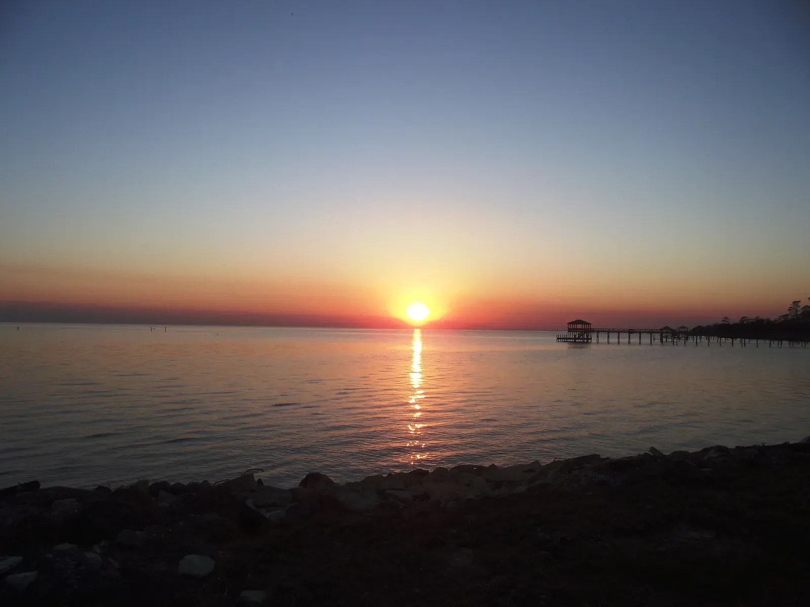
The land above Lake Pontchartrain was always defined by what separated it from New Orleans — and by what that separation made possible. The lake itself, broad and shallow, kept the Northshore parishes of St. Tammany, Washington, and Tangipahoa at arm's length from the city just south of them. The Pearl River marked the eastern edge; the Rigolets marshes closed off the southeastern approach. Before roads or rails, getting here meant crossing water, and most people didn't bother.
The first people who did were not colonists. Archaeologists working Northshore sites today find evidence of the Choctaw, Tchefuncte, Acolapissa, and Houma — tribes who understood what the lush forests and tangled waterways offered before any European had a name for the place. Their presence survives in the rivers themselves: the Bogue Falaya, the Tchefuncte, the Abita. When the French, Spanish, and British cycled through the territory in succession during the 1700s, they built on land these nations had shaped for generations.
The Northshore's political history ran on a different track than the rest of Louisiana. When the United States acquired Louisiana in 1803, this territory — then considered part of "the Florida parishes" — was not included in the Purchase. It entered American hands by other means, and when Louisiana achieved statehood in 1812, St. Tammany Parish was drawn as the land between the Tangipahoa and Pearl rivers. Even then, eastern St. Tammany and Washington Parish remained among the last areas of the region to see permanent European settlement. An 1851 map showed the situation plainly: woodland, isolation, and not much else between Slidell and what would become Bogalusa.
What broke the isolation open was the railroad. Richard Campanella's research for the Times-Picayune traces how the rail lines finally threaded through the swampy Pearl River Basin and around the Rigolets marshes, making towns like Slidell and Bogalusa viable as something more than outposts. Slidell's train depot — still standing, still considered one of the most significant historic buildings in the parish — marks where that transformation landed. Bogalusa followed the timber economy that the railroads made possible. These were working towns, built for extraction and movement.
The other force shaping the Northshore was New Orleans itself. Bernard Marigny de Mandeville, described in the brief as an influential figure in the region's development, understood that proximity to the city was the Northshore's real asset — not despite the lake but because of it. The town of Mandeville grew as a place where New Orleanians crossed the water to escape the city's summer heat and disease. That relationship — the Northshore as the place you go when New Orleans gets to be too much — has never entirely gone away. It deepened when the Lake Pontchartrain Causeway, described as the world's largest continuous bridge over water, finally connected the two shores by road. African Americans, including many free people of color, were part of the community that built this culture from the beginning.
What those forces produced is a set of parishes that resist easy summary. The Northshore is neither a suburb of New Orleans nor a world unto itself. It is something stranger and more useful: a place that formed in the gaps between water and timber and colonial administration, kept its distance long enough to develop its own character, and then found itself linked permanently to the city it had always been watching from across the lake.