La Salle claimed the Mississippi Valley for France on April 9, 1682, driving a column into the ground at what is now Venice, Louisiana, and the territory he named Louisiane ran from the Gulf to Canada and from the Ohio River to the Rocky Mountains. That claim was enormous and abstract. What made it concrete, on the stretch of river between Baton Rouge and New Orleans, was seventy miles of alluvial bottomland that people figured out, over generations, how to force into productivity.
The work began in the 1720s. German immigrants, fleeing religious persecution in Europe, arrived under French colonial rule and settled the German Coast in what would become St. John the Baptist and St. Charles Parishes. They drained marshland. They planted sugarcane. The foundation of what would grow into one of North America's most concentrated agricultural economies was built by people who had come from elsewhere, who had nothing, and who turned swamp into field by hand. St. James Parish was formally established March 31, 1807, and with it came a Creole cultural blending — French, Spanish, and African traditions fused into the social fabric of a place that was already layered and already complicated.
The sugar economy that emerged was built on enslaved labor, and the enslaved people who built it resisted it. On January 8, 1811, more than 200 enslaved men and women — led by Charles Deslondes, a driver from Woodland Plantation — marched twenty miles toward New Orleans with cane knives and a few muskets. The German Coast Uprising was the largest slave revolt in United States history. It was suppressed within two days; sixty-six people were killed in combat and eighteen executed after trials. Some of those trials were held at Destrehan Plantation, one of the estates the uprising had threatened. The corridor that produced the revolt went on producing sugar.
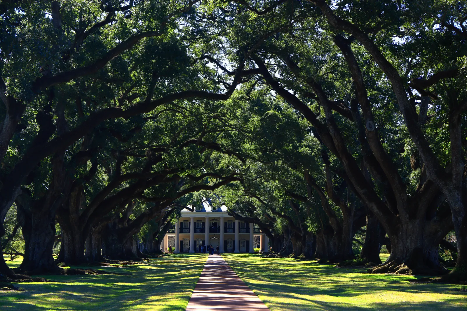
What those forces built — and what survived — is a seventy-mile corridor of antebellum plantation architecture unlike anything else in the country. Estates that began as modest farms became architectural showcases, their sprawling oak canopies and formal structures representing the accumulated wealth of the sugarcane empire. The National Park Service, in a 2024 study of the west bank stretch of River Road in St. John the Baptist Parish, described the landscape as nationally significant for how it tells the story of American industrialization — one where agriculture remained primary even as industry transformed it around it. Wallace, a town on that stretch, was settled by Black soldiers who returned home after fighting for the Union in the Civil War.
The corridor is also contested ground. Dozens of industrial plants now line the route alongside the plantations, and communities have named the cumulative effect: Cancer Alley. In early 2025, an eleven-mile stretch of the west bank River Road was withdrawn from consideration as a National Historic Landmark District, opening it to further industrial development. The argument over what River Road is — agricultural heritage, industrial corridor, or something owed to the communities who have always lived along it — is not settled. What is certain is that the land itself has been in continuous use since the 1720s, and the argument over its future is inseparable from the argument over what it was built on and by whom.