The Black Hills rise from the Great Plains like an island — dark with ponderosa pine against the surrounding grassland, visible from a long distance and, to people who had never seen mountains, startling. The Lakota called them Pahá Sápa and understood them as the heart of everything: a container for spiritual need, for food, for water — whatever allows survival. The range sits in western South Dakota and eastern Wyoming, its granite core dated to 1.8 billion years, its highest point Black Elk Peak at 7,242 feet. The surrounding limestone holds more than 200 caves. The hills are not large by Rocky Mountain standards. They do not need to be. Their position — an outlying range rising abruptly from flat land — made them magnetic to every group that found them.
Human presence here goes back to at least 11,500 BC. The Ponca, Arikara, Mandan, Kiowa, Plains Apache, Cheyenne, and Arapaho all held the hills at different times before the Lakota became the dominant people by the mid-1800s. The 1851 First Treaty of Fort Laramie recognized the Black Hills as exclusive Lakota territory. The 1868 Fort Laramie Treaty extended that protection "forever," establishing the Great Sioux Reservation west of the Missouri River with the Black Hills at its center. That protection lasted less than a decade.
In 1874, Brevet Major General George Armstrong Custer led an expedition of 1,000 men — including a military band, 2,000 animals, and 110 wagons — into the hills. The expedition's prospector, Horatio N. Ross, found gold in French Creek near the present site of Custer City. Custer's announcement triggered a gold rush. Thousands of miners poured in. Three large towns developed in the Northern Hills — Deadwood, Central City, and Lead — while Custer City and Hill City took hold in the south. Railroads arrived quickly. The United States government, unwilling to restrain the rush, fought and won the Black Hills War of 1876 — the last major Indian War on the Great Plains — and seized the hills in disregard of its own treaties. The Lakota were forced onto five smaller reservations. They never accepted the seizure as legitimate.
The gold economy that followed was substantial. Deadwood became the most storied of the boomtowns — a place of miners, gamblers, and outlaws that the Custer County record describes plainly as "a region which has since become famous for dramatic enterprises." The Homestake Mine at Lead produced gold for generations. What the extraction economy built, over time, was a place with roads, railroads, and towns that outlasted the booms — a physical infrastructure that later became the scaffold for something else entirely.
In 1980, the Supreme Court ruled in *United States v. Sioux Nation of Indians* that the Black Hills had been illegally seized and ordered compensation of nearly $106 million. The Lakota refused the settlement, demanding the land itself rather than payment. The sum has sat accruing interest in a Bureau of Indian Affairs account ever since — by 2011 estimated at over a billion dollars — while the Lakota continue to press for return of the land. In 2012 and the years following, several Sioux tribes pooled resources to purchase back portions of sacred sites, including Pe' Sla, which was granted federal Indian trust status in 2016. The claim is ongoing. The hills remain contested ground.
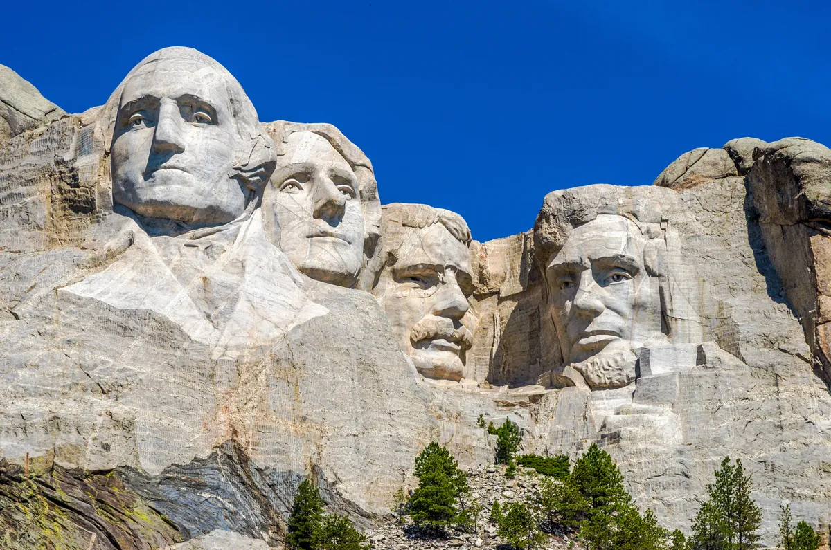
What those forces together produced is a landscape holding an unusual density of consequence. Mount Rushmore and the Crazy Horse Memorial occupy the same hills, within miles of each other — one a monument commissioned by the federal government, the other an ongoing work initiated by Lakota leadership in response to it. Wind Cave National Park and Jewel Cave National Monument sit atop the same limestone formation that generated the gold rush. The Sturgis Motorcycle Rally — first held on August 14, 1938 — fills the Northern Hills each August with a gathering that has become one of the largest of its kind in the world. The Black Hills are not a simple place made safe for visitors. They are a place where the argument is still running.