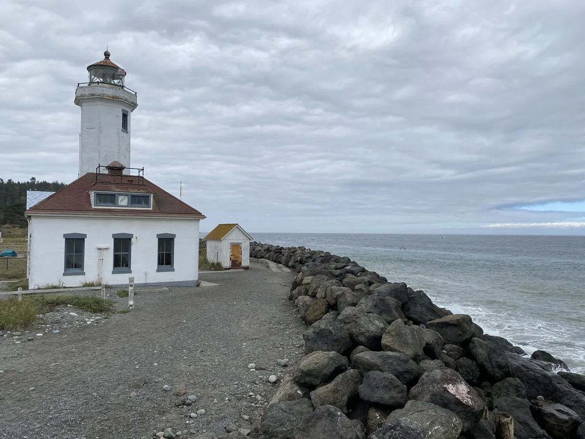
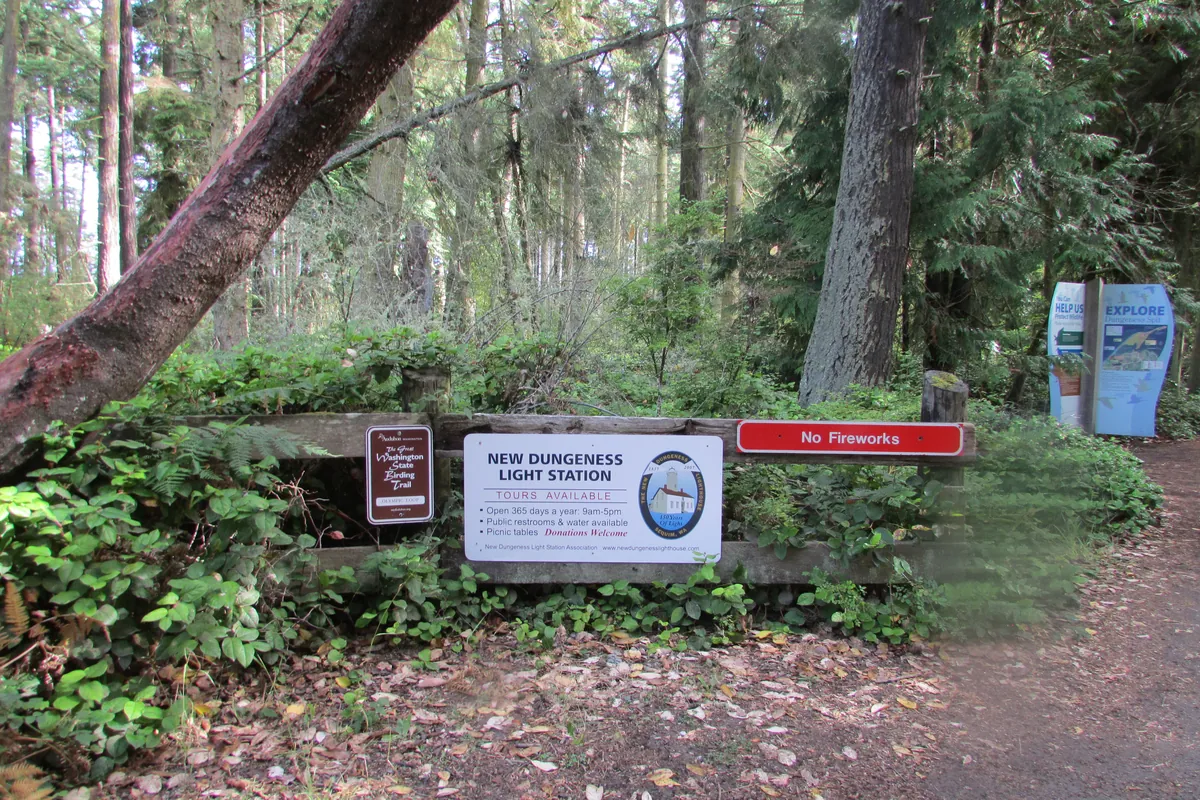
Before Europeans had mapped the interior of the Olympic Peninsula — much of it still uncharted into the 1890s — they had already staked the edges. Cape Flattery Light went active on December 28, 1857, on Tatoosh Island, half a mile off the northwesternmost point of the peninsula, on land belonging to the Makah, whose people had fished these waters in seasonal camps long before any lighthouse keeper arrived. Fifty miles east, the octagonal tower at Point Wilson has stood since 1914, its original fourth-order Fresnel lens marking the exact turn where the Strait of Juan de Fuca narrows into Admiralty Inlet — a passage the Chimacum knew as Kam-kam-ho. Between them, the New Dungeness Lighthouse stands five miles out on a spit, kept today by volunteers who have given more than 100,000 hours since 1994. Three lights. The strait they mark has never stopped moving ships.