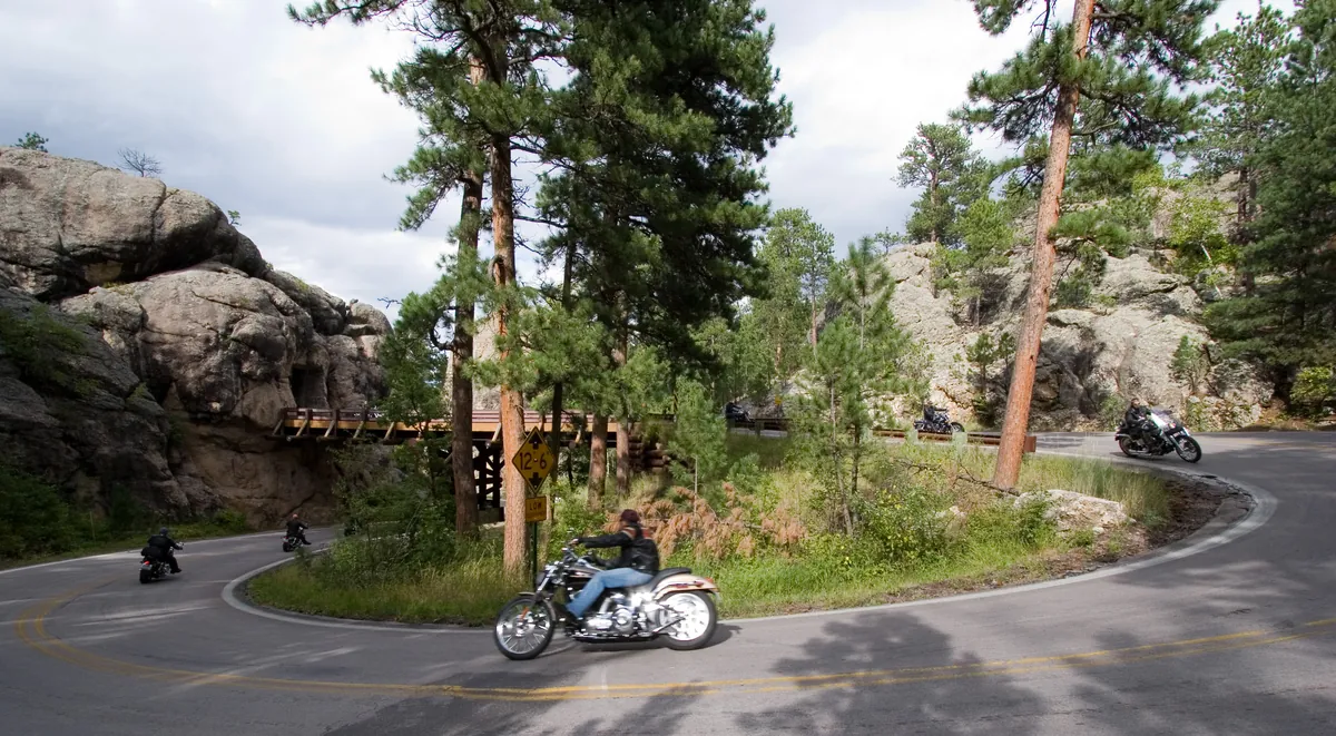
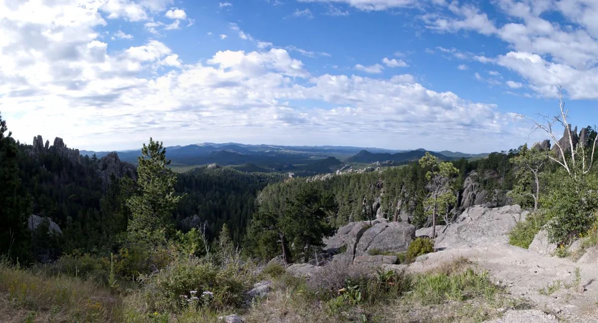
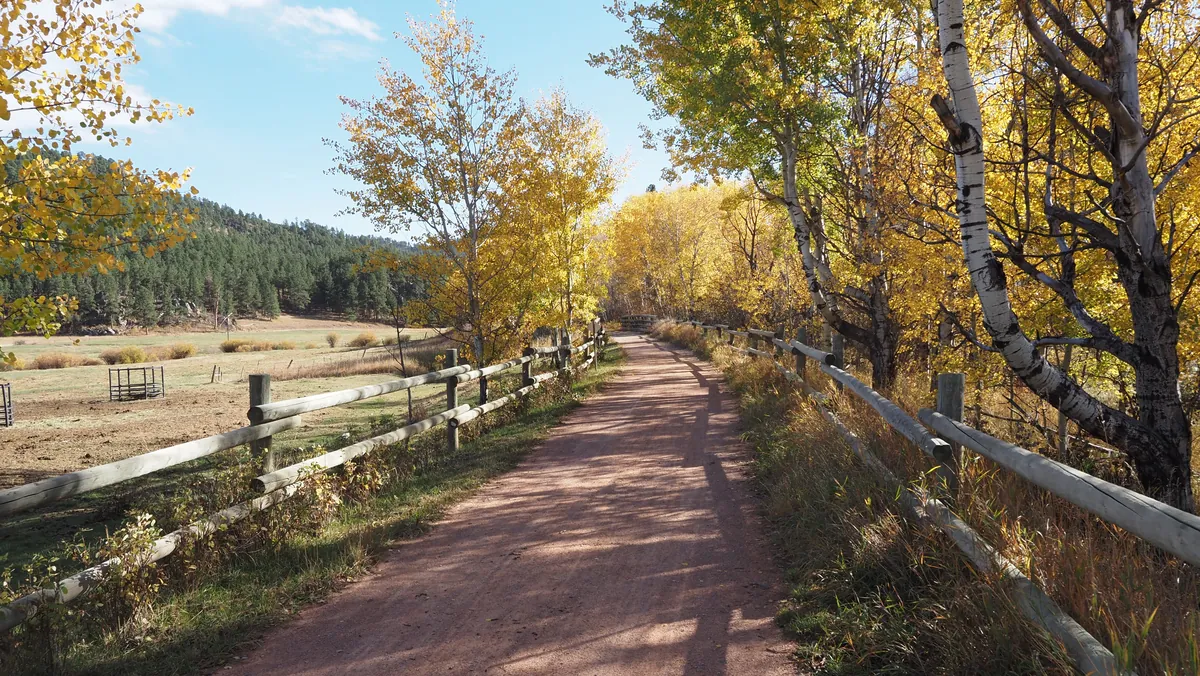
The Black Hills were never easy terrain to move through — ancient rock upwarped from the plains, carved into ridges and granite spires by millennia of stream erosion. The roads and trails built here in the early twentieth century didn't fight that fact; they used it. Peter Norbeck mapped the Needles Highway on foot and horseback before a single charge was set; the 14-mile route, finished in 1922, tunneled straight through sheer granite walls. Iron Mountain Road, constructed in 1933, answered the same problem with 314 curves, 14 switchbacks, and three pigtail bridges — engineered deliberately to hold traffic to 35 miles per hour. When the Chicago, Burlington and Quincy railroad corridor finally quit running in 1986, it became something else: 108.8 miles of trail from Deadwood to Edgemont, finished in 1998, the rail line converted into the Mickelson Trail — the hills made passable again, on different terms.