Good forHistory buffs
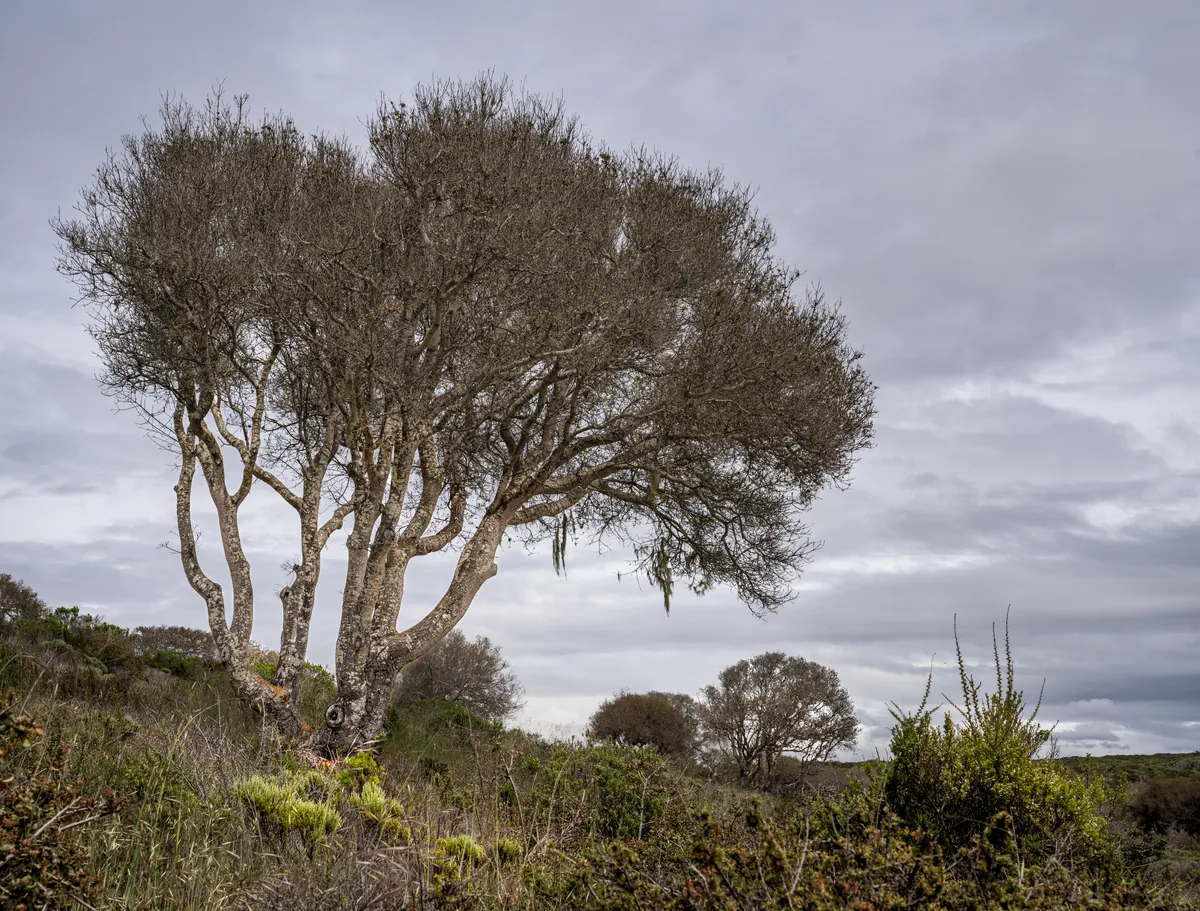
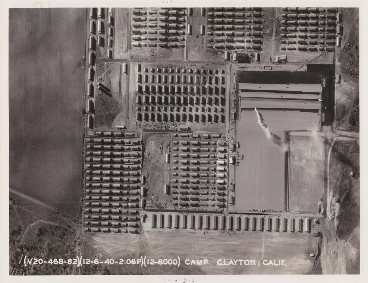
The names still printed on the trailhead maps tell you exactly what this land used to be: Beach Range, Machine Gun Flats, Engineer Canyon. The Army started using this stretch of Monterey Bay coastline in 1917 and trained roughly 1.5 million soldiers here before the base closed in 1994. President Obama designated 14,651 acres of it a national monument in 2012. The Bureau of Land Management now manages the land, including 44 rare plant and animal species, more than 91 miles of trails open to hikers, cyclists, and equestrians — and a small number of fenced corridors where unexploded ordnance still makes the old mission clear.
More archive
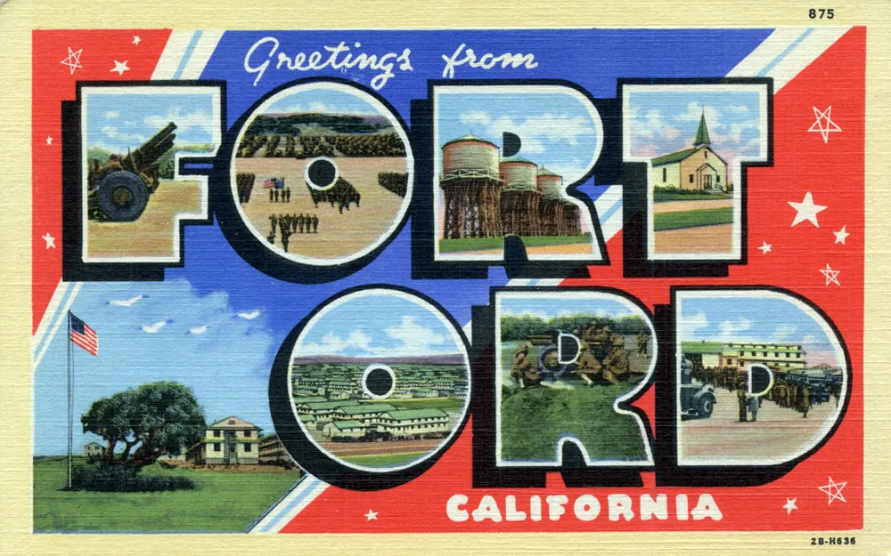
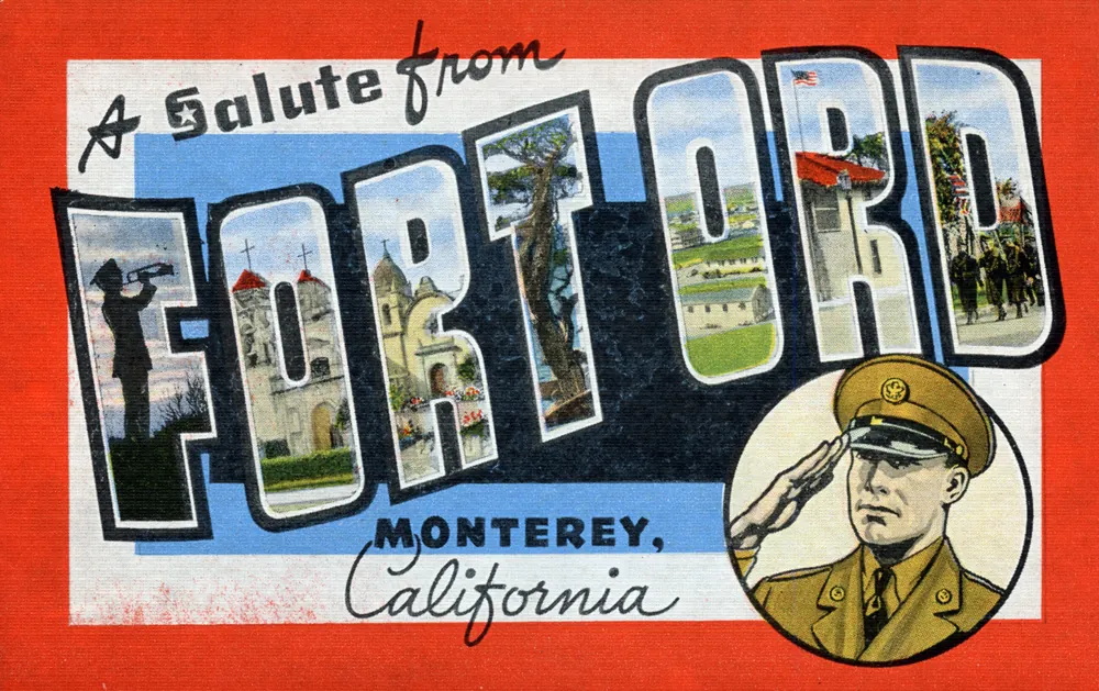
3 historical photographs.
Memories
Be the first to leave a memory at Fort Ord National Monument.
Sign in to see memories your family has left at this place.
Editorial content compiled with AI assistance. Place details verified against public records.