Top picks in The Outer Banks
The places most worth your time here.
Connect your Cour circle to see which places friends and family recommend here.
Connect Cour →Landmarks
46 places worth the detour
tap the eye to open · swipe or use buttons to browse
The Outer Banks did not form so much as accumulate — 200 miles of barrier islands and spits built from glacial remnants, sand dunes that survived the melting ice and reconstituted themselves into a…
Read the full storyReading
A hurricane tore open Oregon Inlet in 1846, and the Outer Banks have been negotiating with that fact ever since. The gap separated Bodie Island from Pea Island and handed everything south of it — all of Hatteras Island — to the mercy of shifting water. By 2014, portions of Hatteras Island had eroded to 25% of their original width. The weather station built at Hatteras in 1901 eventually lost its coastal warning tower to hurricane damage; the Tropical Storm flag only recently flew again over the village for the first time in decades. The channel at Oregon Inlet requires constant dredging to stay navigable. The answer to the crossing itself cost $252 million and opened in 2019, built to a 100-year design life. The Banks don't pretend permanence. They just keep building toward the next hundred years.
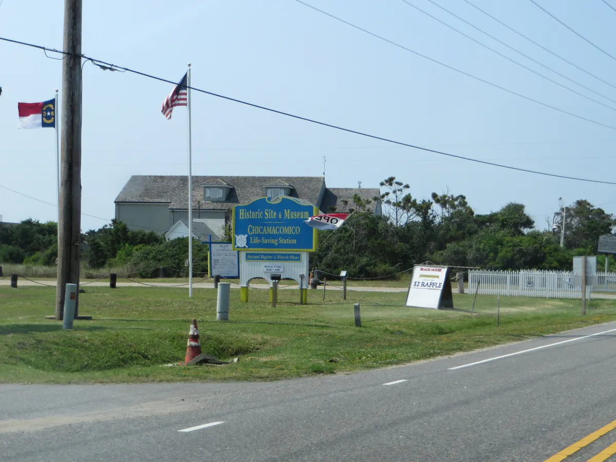
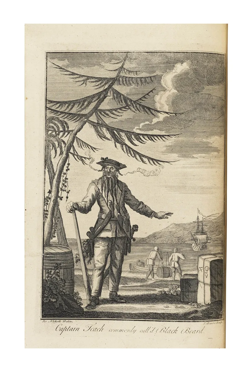
Blackbeard made his last anchorage here, and Ocracoke has been difficult to reach ever since. No bridge crosses to the island — you come by ferry, across Pamlico Sound or through Hatteras Inlet, or you don't come at all. The free NCDOT ferry from Hatteras Village drops you at the inlet, and from there it's 13 miles of Cape Hatteras National Seashore on both sides before you reach the village. Population 797. Most of the island remains seashore. What the village kept is itself — including a dialect old enough to have its own name, the "Hoi Toider" accent, still audible among older residents though fading in the younger ones. The Ocracoke Preservation Society Museum, housed in a moved structure that once belonged to the first keeper of the Coast Guard Station, holds what the community chose to save.
In 1587, 117 men, women, and children landed on Roanoke Island to build the first English colony in America. Governor John White sailed back to England for supplies; war with Spain held him there three years. When he returned in 1590, the settlement was gone. What the colonists left behind were carved letters — the accounts differ on exactly what was written and where — and nothing else the record has closed. Most modern scholars believe the colonists assimilated into local indigenous tribes, but no one has proven it. Every summer since 1937, Paul Green's outdoor drama has staged that disappearance at the Waterside Theatre, which means this barrier island has spent nearly ninety years performing a question it cannot answer. That is the Outer Banks' oldest story: not a founding, but a vanishing.
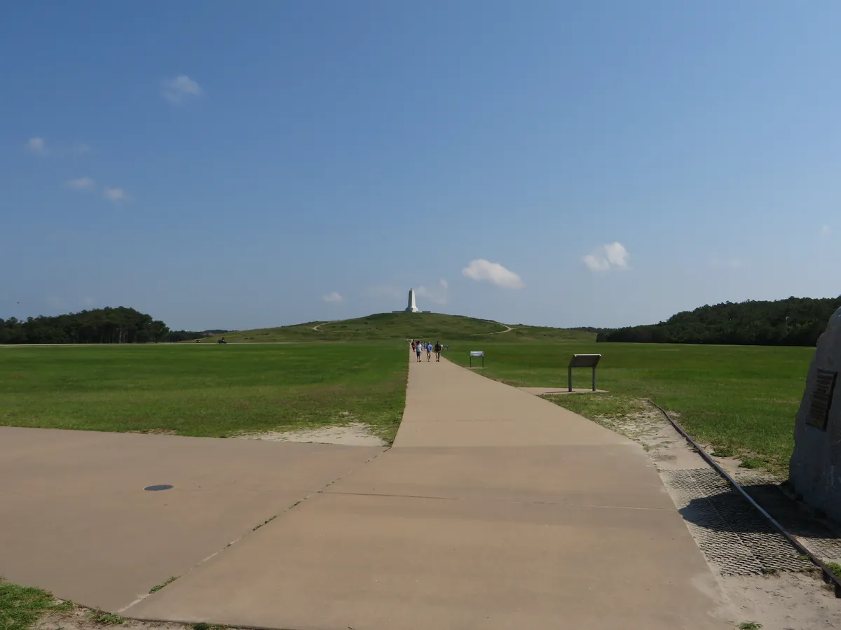
Two brothers from Dayton came to Kill Devil Hills because the U.S. Weather Bureau told them the winds were right. On December 17, 1903, they flew — four powered flights from level ground, the first controlled, sustained, powered flights in a heavier-than-air machine. That's what the ground here holds. A 60-foot granite monument went up on the hill in 1932; a bas-relief in granite followed in 2003, a hundred years out, capturing the Flyer at the moment it left the earth. The wind that brought the Wrights here never stopped being useful — Kitty Hawk Kites has been teaching beginners to fly at Jockey's Ridge since 1974, on the tallest active sand dune system on the East Coast. A brewery down the road in Kill Devil Hills runs on wind power. The Outer Banks didn't trade on this history. It just kept using what was already here.
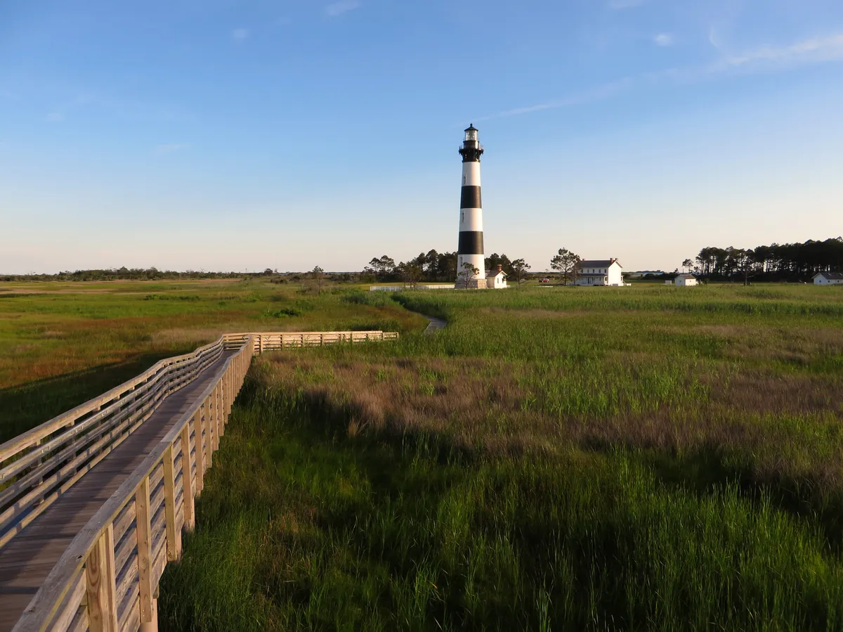
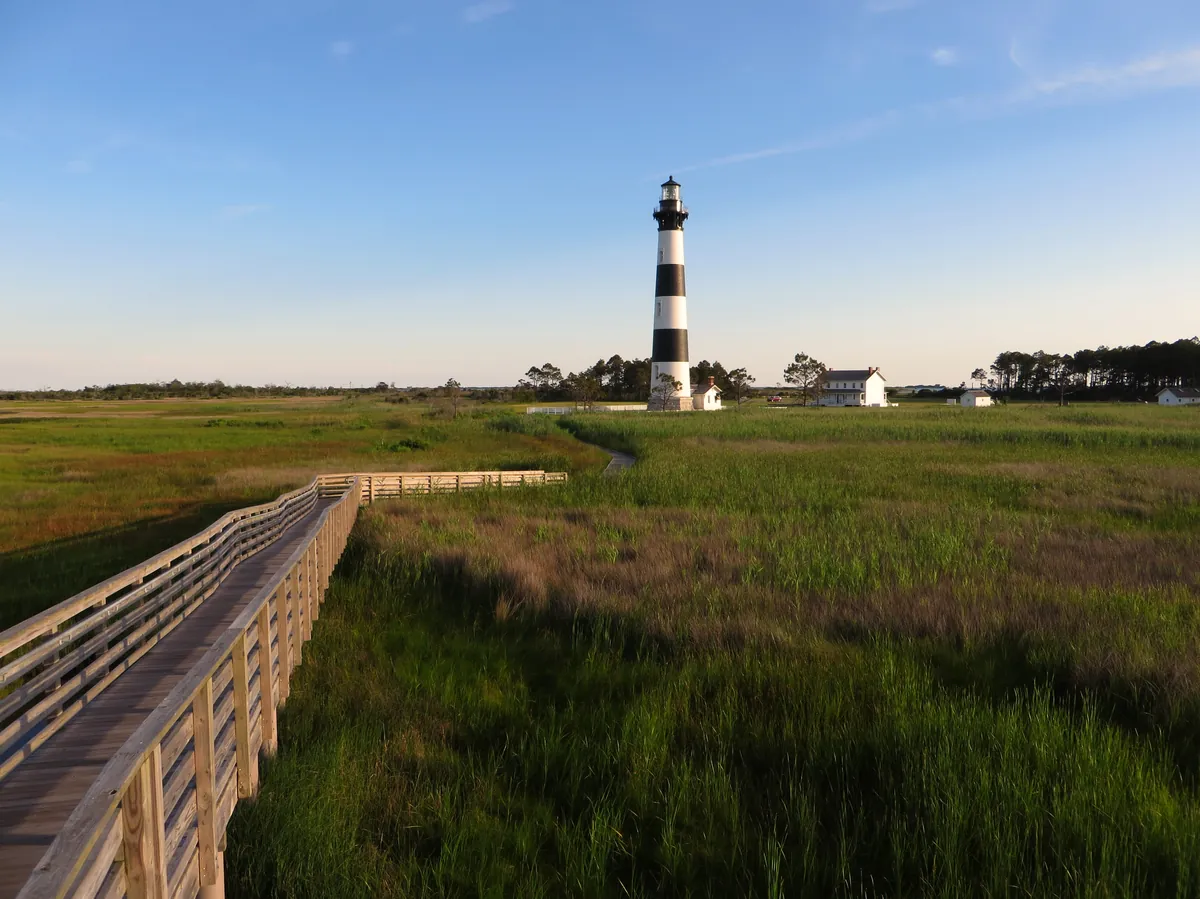
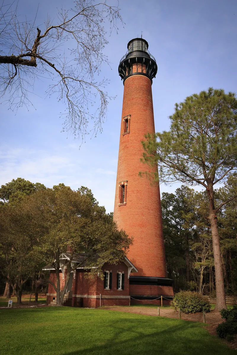
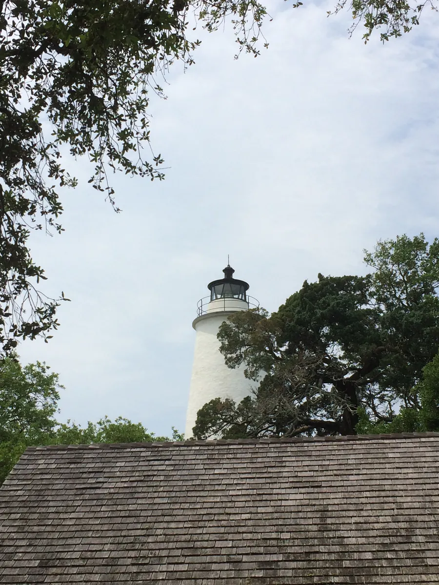
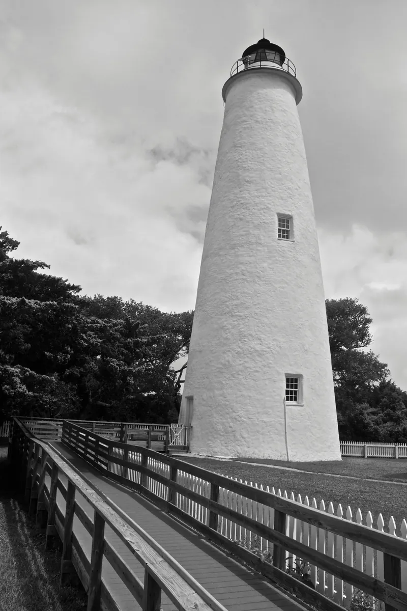
More than 5,000 ships have gone down in the waters off these barrier islands since recordkeeping began in 1526 — which is how you earn a name like the Graveyard of the Atlantic. The culprit is geography: 200 miles of shifting shoals, violent currents, and storms that have never made allowances for the ships that had to pass through anyway. The response was infrastructure. The 1823 lighthouse at Ocracoke Inlet — 75 feet of brick, still working, its beam visible 14 miles out — was one answer. The Life-Saving Service was another: in August 1918, Keeper John Allen Midgett Jr. and his crew pulled forty-two men from the burning tanker Mirlo after a German torpedo struck her offshore, an act that earned gold medals from King George V. The sea took. People built back. That negotiation is still ongoing — portions of Hatteras Island now stand at 25% of their original width.
Tickets & Shows
Plan your trip
The only thing left to do is go.
Some of these are partner links — if you book through them, Portage may earn a commission at no extra cost to you.
Editorial content compiled with AI assistance. Place details verified against public records.